By the time of the 1612 map a windmill stood by the road from the church to Weston Green. It was rebuilt c. 1830 as a smock-mill and was working throughout the 19th century, owned by the Livermores. The villagers would glean corn at harvest time and take it to the mill to be ground into flour.
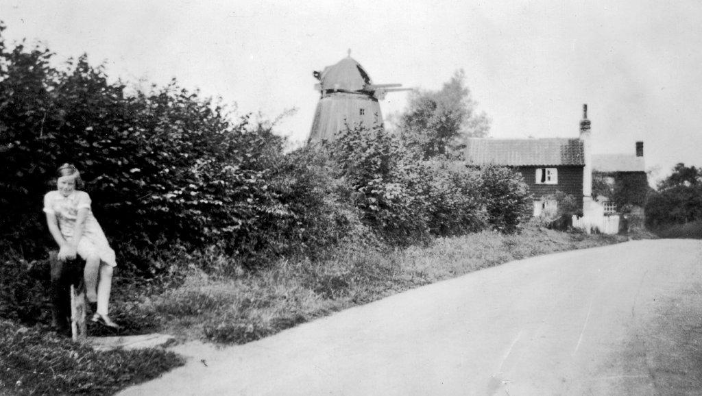
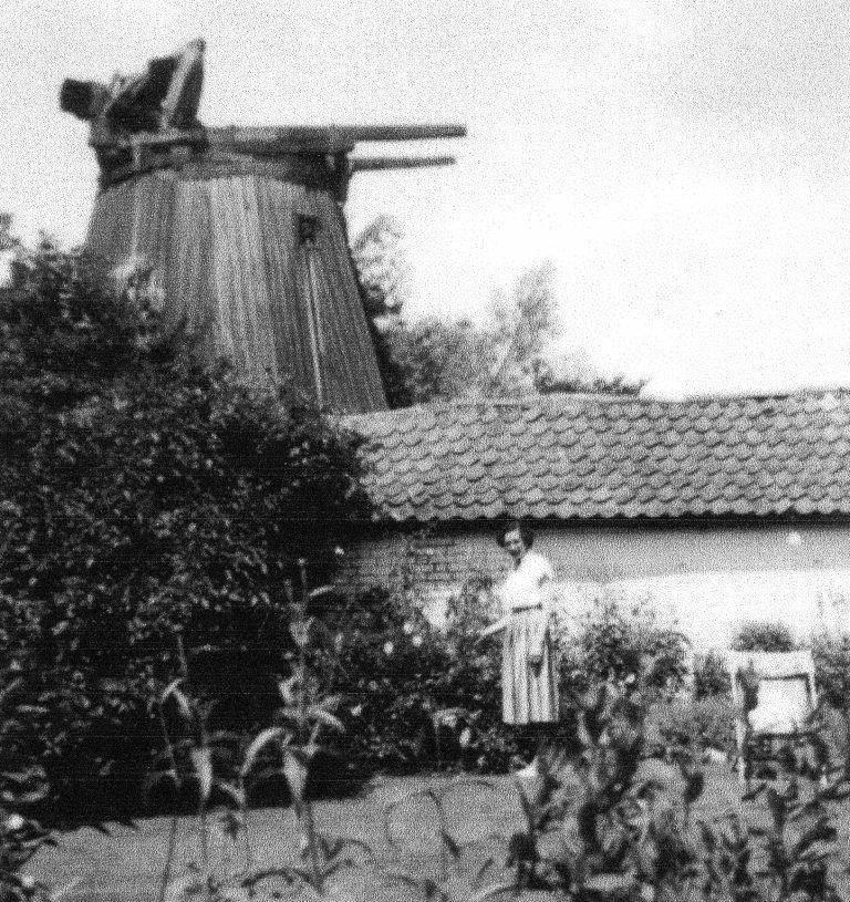
The windmill in the 1950s
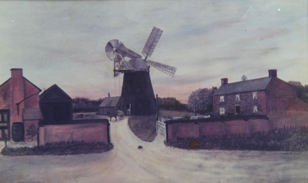
In 1904 Miss Wormald, the school mistress, painted a picture of the windmill:
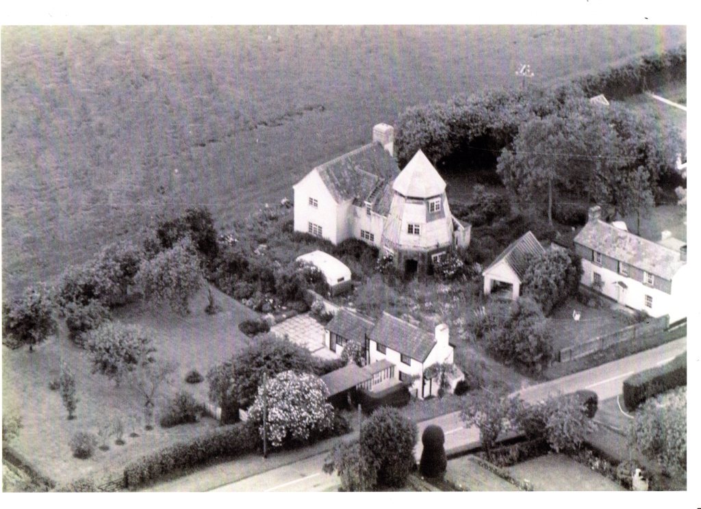
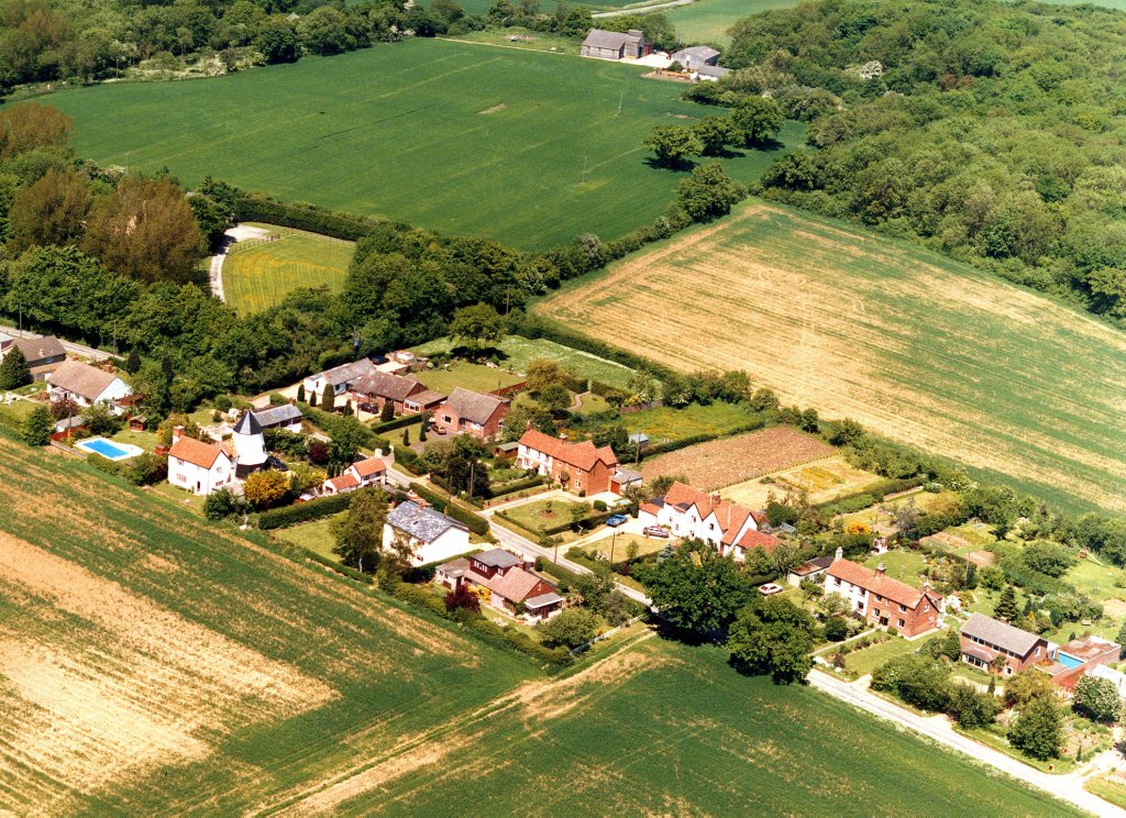
Until the early 1990s the houses on the windmill side of Mill Hill had extremely small gardens – they are much larger today after the landowner sold long strips of the field to the owners of the houses. Here’s an old aerial photo from possibly the 1960s when the windmill was being renovated and extended:
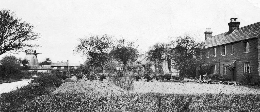
Mill Terrace, the row of semi detached redbrick estate cottages opposite the mill, was not on the 1881 census but was on that for 1891, which dates them to the mid-late 1880s. Each cottage was given apple and greengage trees.
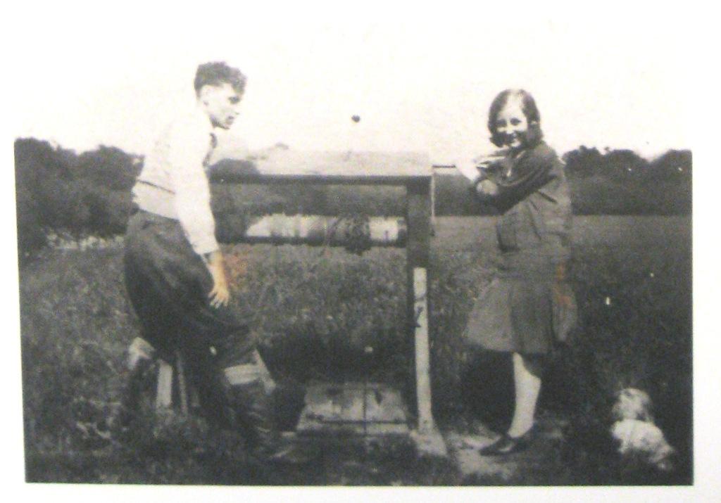
The well, Battlesfield
Weston Colville did not acquire piped fresh water until the late 1930s. Prior to that water was drawn from wells. The one in the picture below served some houses at Mill Terrace although there was at least one other at 31 Mill terrace and a spring at 29 Mill Terrace. Battlesfield lies between the road and Mill Hill and is a corruption of Beatles Field.
In this photo, possibly from the late 1930s, is Wilf Loates, born in Chapel Road on August 5th 1910, and his wife Dorothy. Lower Wood is in the background. The well was subsequently filled in with all sorts of household rubbish including old brass lamps and then concreted over by Ellis Bailey. The concrete can still be seen a few metres from the road and track to Lower Wood. When the water became ‘tainted’, usually from horse manure leeching into the soil, pails would be hung on land drain pipes over the ditch on the opposite side of the road.
The piped water was accessed by ‘taps’ situated at strategic points around the water. They were enclosed in a wooden box and each house was given a heavy brass key to turn them on. They invariably froze in a hard frost. The one at Mill Terrace was at the roadside where the garden gate to Farringford would be.
This aerial photo was taken in 1988, after Settle and Farringford were built, but before the gardens extended into what was then a field:
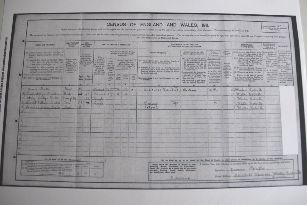
The 1911 census entry for the Balls family in 26 Mill Terrace:
Anthony Loates, evacuated from Sheffield in 1939 to his aunt Lil Challis at 32 Mill Terrace, says ‘each village had an evacuation officer and Lil was Weston’s. All evacuees here ended up on Mill Hill because no-one else wanted them. Aunt Lil said “I’ll have Anthony, I don’t want none of that London lot” ’ and another evacuee was Joyce Timcke at no.36.
Anthony stayed there until he was 17. “I studied for my ‘O’ levels by oil lamp.”
The account for the purchase of 31 Mill Terrace in 1951, when the house sold for £500: