The 1612 map (on display in the Reading Room) shows cultivation in strips which was ended in 1778 by the Act of Enclosure:
Whereas the Tithe of Corn, Grain and Sheaf arising in Catchpole Acre, lying in the common fields of Weston Colville has, for time immemorial been at times taken by the Rector and at other times by the Dean and Chapter of Ely, as Impropriators of the Great Tithes of West Wratting after the Corn growing there was either cocked or shocked, enjoyed at certain times and Seasons of the Year, an equal Right of Pasturage and feeding for Sheep, to and with several of the Proprietors, Farmers and Occupiers of Land in the Open and Common Fields, who have Common Rights in, over and upon certain Pieces and Parcels of Land and Grounds, called Titshawe, Brookfield and Clamps Part of the Open and Common Fields and Commonable Lands intended by this Act to be inclosed.
Masters and Fellows of Jesus College, notice be given in writing affixed on the Doors of the church…No Differences or Disputes shall impede or delay the Commissioners in the Execution of the Powers vested in them by this Act. Whereas the poor persons have for several years past been indulged and permitted to cut bushes and thorns for fuel, compensation, the rents of The Poor’s Plot shall at all Times for ever after, be taken by the Churchwardens on the 21st day of December.
The main farms at Weston Green, such as Pound and Street farms, received new white-brick, slated farmhouses.
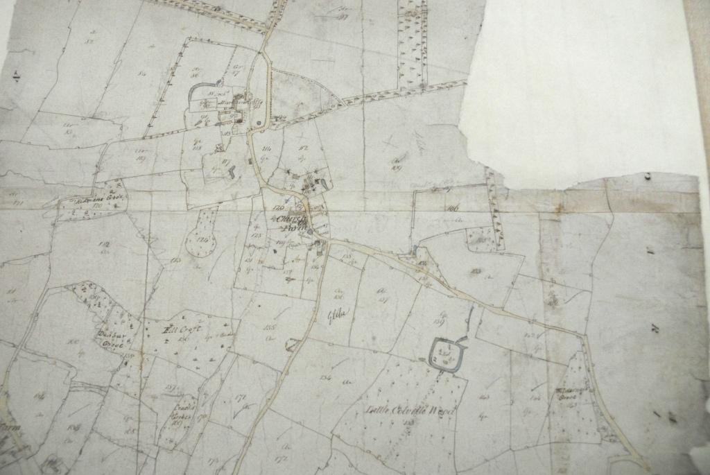
Part of a map of the village (showing Church End) after enclosure:
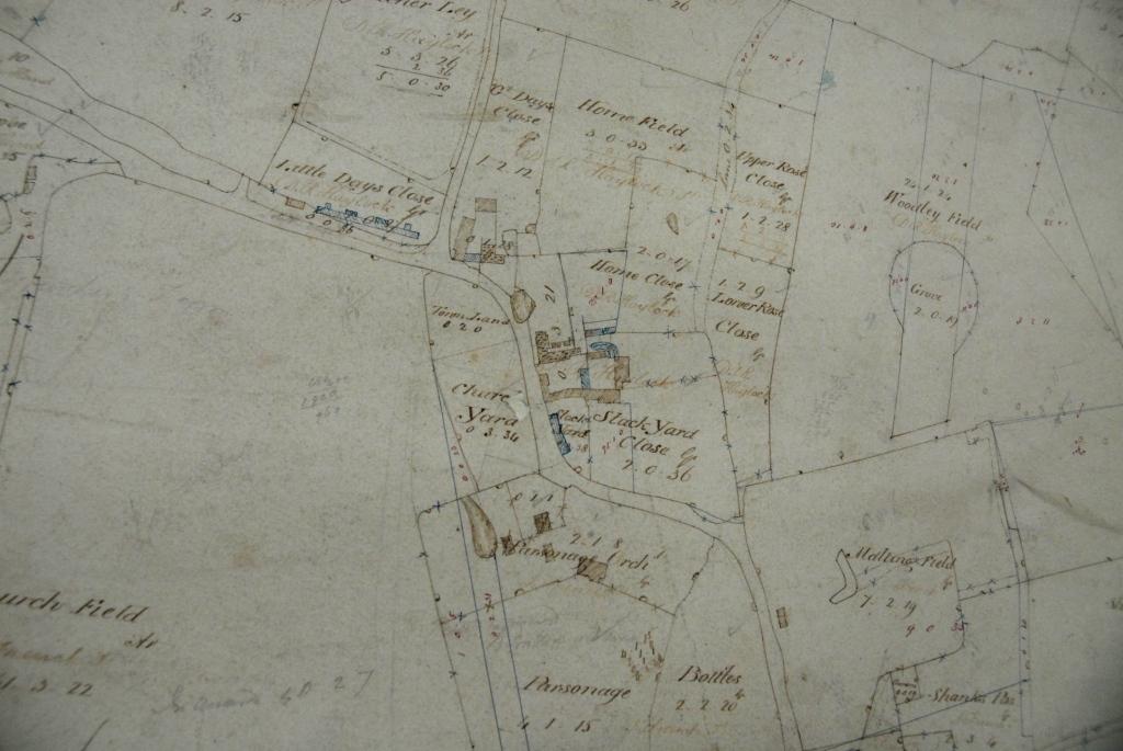
From the map of 1828, again showing Church End:
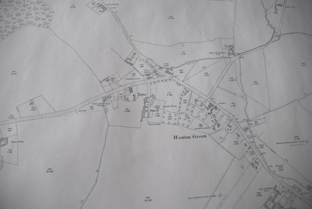
Part of the 1926 map, showing Weston Green: